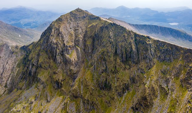
Yr Wyddfa (Snowdon)
Yr Wyddfa (Snowdon) is the highest mountain in Wales and England, standing at 1,085m above sea level. Whether you’re chasing the sunrise, completing a personal challenge, or simply soaking up the scenery, Yr Wyddfa is a true icon of Wales.

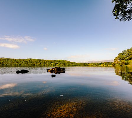
Situated in the heart of Eryri (Snowdonia) National Park!
This is a place of legend, beauty, and adventure, drawing walkers, climbers, and nature lovers from across the globe. With eight main routes to the summit and the option to travel by the historic Snowdon Mountain Railway, Yr Wyddfa offers an unforgettable experience for all levels of ability. On a clear day, the panoramic views stretch as far as Ireland, Anglesey, and even the Isle of Man.
Llanberis Path Difficulty Level - 1:
Known as the 'tourist track', this path is the most popular route to the summit due to its gradual climb and well-maintained path clearly showing the route. This path is also the longest of the routes at a nine mile round trip, starting in Llanberis and following the Snowdon Railway track.
Pyg Track Difficulty Level - 5:
This path is a popular choice with visitors wanting a slightly challenging terrain. Starting from the Pen-y-Pass, the track follows a rugged terrain including some steep sections requiring a good level of fitness. This is the shortest route to the summit but can also be joined with the Miners' Track to make it a slightly longer circular walk.
Miners' Track Difficulty Level - 4:
The Miners' Track is again, another popular choice with travellers. The route begins at the Pen-y-Pass and starts with a straight-forward journey alongside the shores of Glaslyn. From here the second half of the walk becomes challenging with a steep ascent to the summit. The Miners’ Track was initially built to serve the Britannia Copper Mine with remains of the mine visable along the route.
Watkin Path Difficulty Level - 7:
The Watkin Path, named after the railway pioneer Sir Edward Watkin, is considered one of the most demanding of the paths up Yr Wyddfa (Snowdon). While challenging, the path offers scenic views including lush valleys and waterfalls. The round trip is about 8 miles and involves tough vertical gain towards the second part of the hike.
Rhyd-Ddu Path Difficulty Level - 5:
The Rhyd Ddu Path is one of two routes to the summit that ascend the western slopes of Yr Wyddfa (Snowdon). This path offers a different perspective than some of the others due to its location on the mountain and less crowds. The first mile climbs gradually along the old track that served the Bwlch Cwm Llan slate quarry before ascending steeply over rocky terrain to Llechog ridge.
Snowdon Ranger Path Difficulty Level - 2:
This path is also known as a quieter option for those wanting to skip the crowds. The Snowdon Ranger Path gradually ascends until merging with the Llanberis Path for the final stretch to the summit. The Snowdon Ranger Path is thought to be one of the oldest routes to the summit, named after a mountain guide named John Morton, who called himself the 'Snowdon Ranger'.
Crib Goch Difficulty Level - 10:
The Crib Goch path is a highly challenging and exposed route to Yr Wyddfa (Snowdon). Considered a grade 1 scramble, it involves traversing a knife-edge ridge and should only be attempted by experienced hikers with a head for heights. The path diverges from the Pyg Track and from there you must navigate the rocky terrain.
Y Lliwedd Difficulty Level - 8:
Probably the most unexplored route up Yr Wyddfa (Snowdon), the Y Lliwedd path is named after the peak which you ascend on the path before reaching the summit of Yr Wyddfa (Snowdon). It forms the southern half of the Snowdon Horseshoe, but can be undertaken separately as a route from Llyn Llydaw on the Miners’ Track.

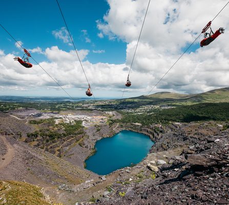
Nearby zip world locations