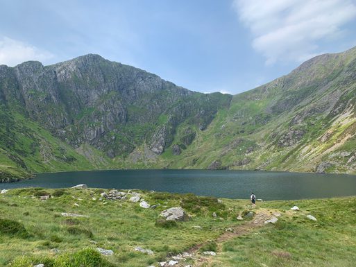
Cadair Idris
At 893m, Cadair Idris distinctive shape can be seen from miles around from the coastline of Barmouth to the market town of Dolgellau.

Legend has it that the mountain is named after a giant called Idris, meaning ‘Chair of Idris’ in English.
For the people of southern Eryri (Snowdonia) Cadair Idris is a foreboding presence as the summit of Penygadair is a sharp contrast to the gentle surrounding hills. There are three recommended routes to conquer the summit, all of which are described are hard and strenuous:
Pony Path - 6 miles (5hrs)
The Pony Path is the most popular route heading up. The route starts at Ty Nant car park near Dolgellau before climbing through woods up steep stairs in places and then up grassy slopes towards the ridge line before travelling onwards to the summit.
Minffordd Path - 6 miles (5hrs)
This path is shortest yet steepest route to the top. Starting from the Visitor Centre, the route makes you climb many sets of stairs before ascending towards Llyn Cau and up along the ridge towards the peak. Coming back down, it is easy to miss the path so take care when navigating your way back down.
Llanfihangel y Pennant Path - 10 miles (7hrs)
This path offers peace and quiet away from the busier paths. Named after the sleepy hamlet the path starts in, the path is fairly well-marked with several places to capture glimpses of the Dysynni Valley down towards the coast. Compared to the other paths, it is fairly gentle until you rejoin the Pony Path which follows a climb towards the peak of Penygadair.
Cadair Idris is probably the most popular mountain in southern Eryri (Snowdonia) due to it breath-taking landscape and said-to-be Wales deepest lake at its base, Llyn Cau. A popular spot to swim, this lake reflects the peak above in its dark waters. The mountain also features in the Welsh Three Peaks which is a 24-hour endurance challenge to summit three popular peaks in Wales - Yr Wyddfa (Snowdon), Cadair Idris and Pen-y-Fan.
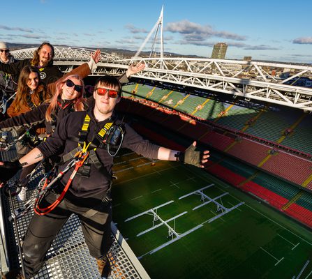
Nearby zip world locations